June 13, 14, 15
with Janet H. Tulloch
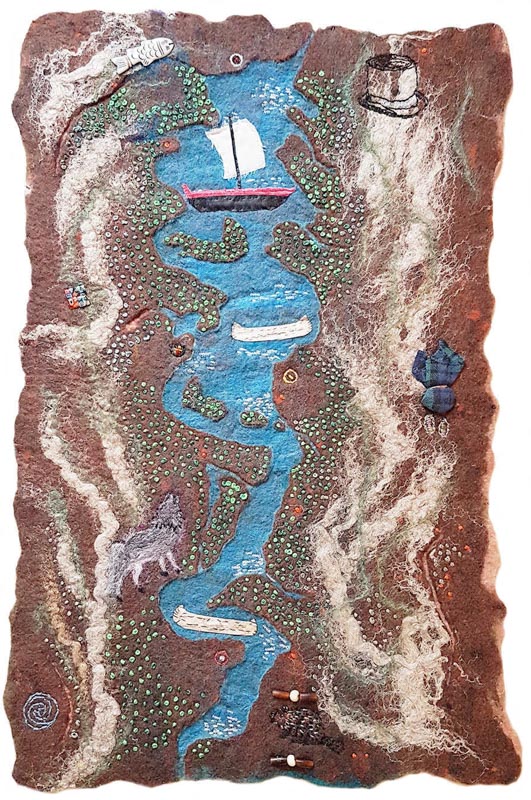
Participants will learn how to create a personal, bas-relief aerial map of the Pontiac using felt, plastic resists, scissors and other tools.
The objective of the workshop is to better connect participants to their local history, culture, geography, and nature of the Pontiac region. Drawing our inspiration from images of ancient artifacts, aerial maps, and photos available from local historical, cultural and heritage groups, participants will create a personalized “map” of the Pontiac.
Using an assortment of fibres, e.g. alpaca and sheep wool, cellulose (linen/hemp), paper and the mediums of wet-felting, hand-stitching, and easy embroidery, participants will create a bas-relief map: when finished (approximately 20” wide x 24” long/ 50.8cm x 61cm) that connects their personal history and/or location to that of the Pontiac region.
Individuals interested in taking this workshop could include artists concerned about sustainable art-making, those who enjoy wet-felting, making collages, low reliefs (bas-relief), tracing, stitching and needlework, as well as members of the general population who are curious about local history, maps, archaeology, nature, boats, fishing, and river development including transportation.
Materials supplied by instructor
Duration of the course: 3 days, 9 am – 4 pm.
Student Level: beginner / intermediate
Maximum Number of participants: 6
Language: English and French
Instructor: Janet H. Tulloch

